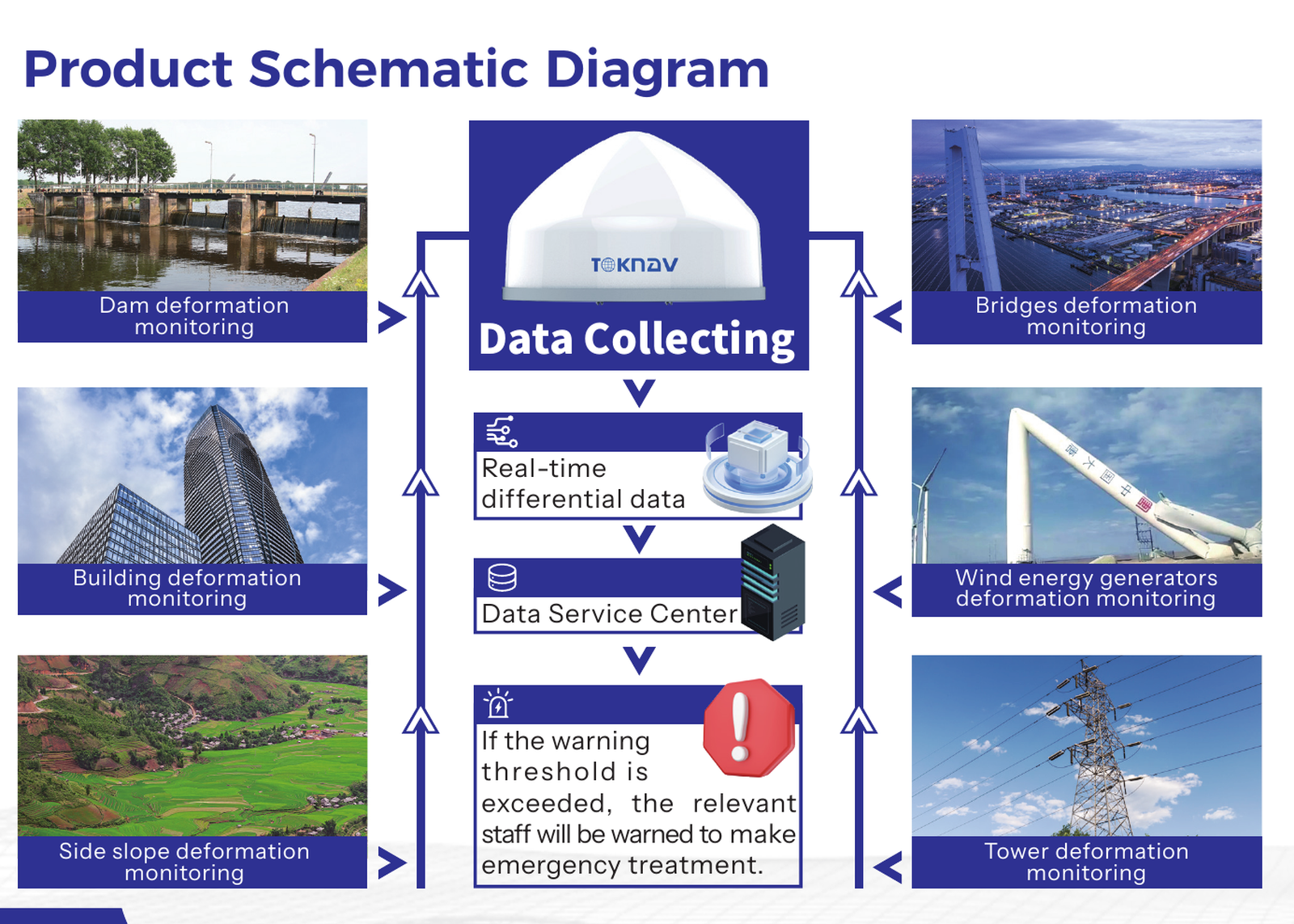
Deformation Monitoring Workflow
GNSS-based monitoring for landslides, dams, mines, bridges, high-rise buildings, slopes, and other safety-critical assets.
- Automatic collection, processing, data display, and warning workflows.
- Supports GNSS receivers plus sensors such as rain gauges, water level gauges, displacement meters, and inclinometers.
- Designed for remote data transmission and platform-based monitoring.
Source: Solution Brochure and Deformation Monitoring Solution catalog.