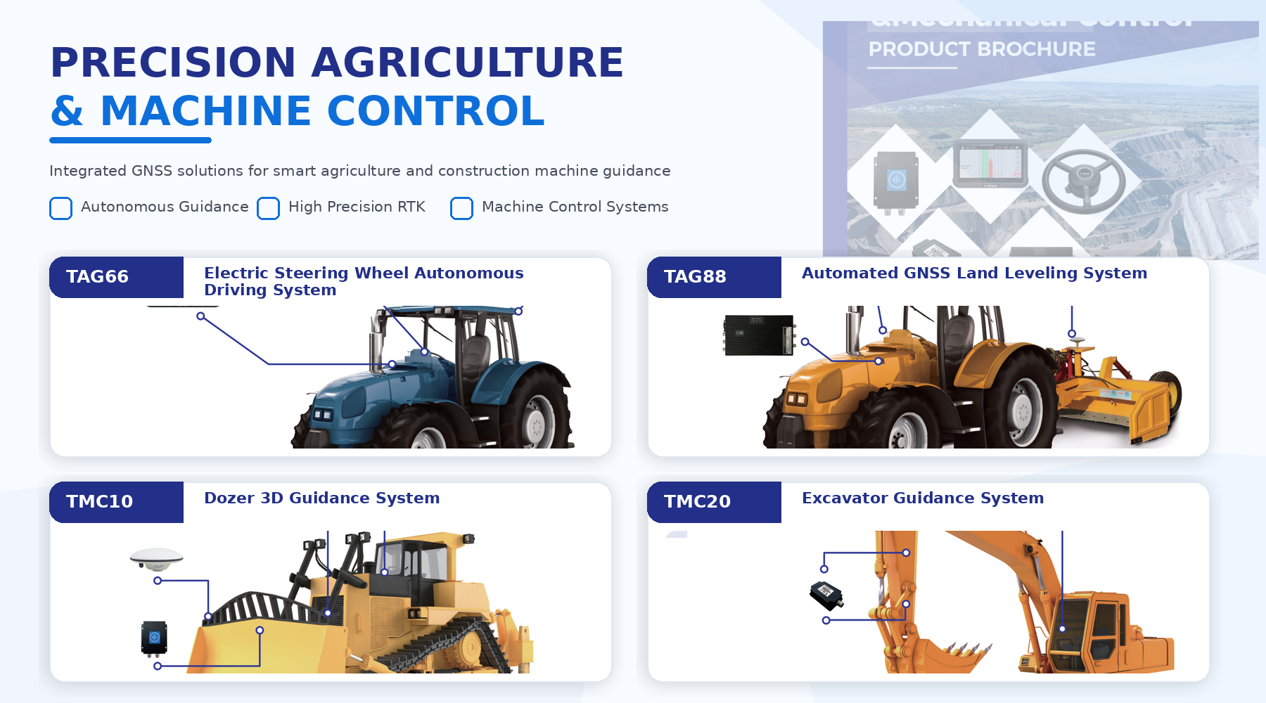
TAG66 Electric Steering Wheel Autonomous Driving System
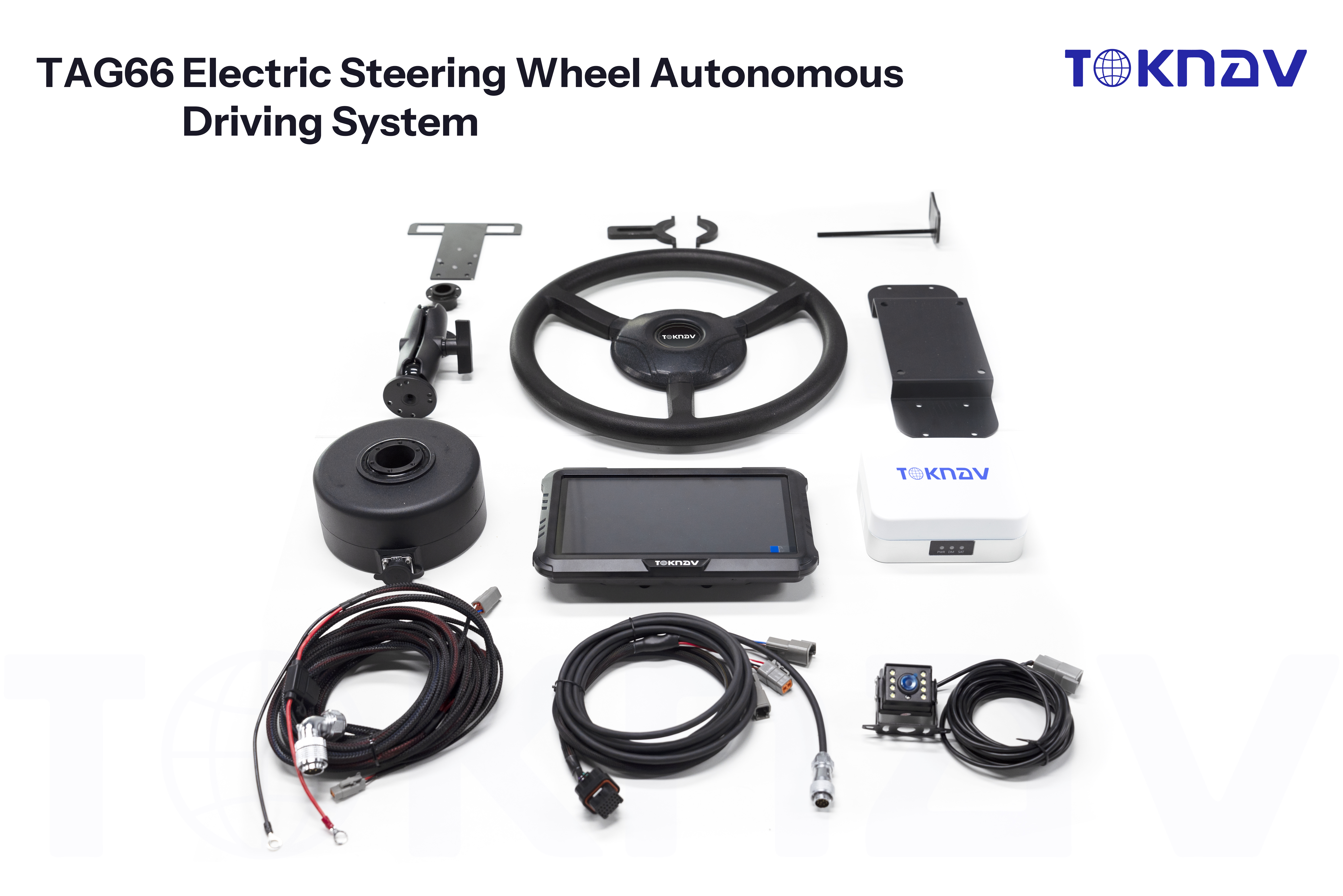
Electric steering wheel autonomous driving system for sowing, harvesting, spraying, mulching, plowing, and ridge making.
- Centimeter-level vehicle positioning through BeiDou high-precision positioning.
- Integrated controller with 4G, IMU, UHF radio, and BeiDou positioning modules.
- Catalog describes pass precision of 2.5 cm at speeds from 0.15 to 25 km/h.
Source: TAG66 catalog.